Coast to Coast
Paramotoring across America — April 9 – 28, 2026
San Francisco, CA → Kill Devil Hills, NC
The Route
2,921 miles across 13 flying days — click any leg for details
Flying Days
▼Playback: Play/Pause and Stop buttons. Speed selector changes how fast time passes.
Scrub Bar: Drag the gold handle or click anywhere to jump to a specific moment. Day markers show where each flying day starts.
Flying Days Panel: Click the "Flying Days" panel on the map to expand. Toggle individual days on/off with checkboxes, or click a day name to zoom to it. Use the Mark/Scott checkboxes to show/hide each pilot's track.
Map Layers: Switch between Satellite, Map, Topo, and FAA Sectional views.
Click Any Track: Click a flight leg on the map to see detailed stats and jump to its elevation profile.
Track Gaps: You may notice small gaps between landing and the next takeoff. This is because XCNav takes 1-2 minutes to recognize flight has begun, so the first moments after launch are not recorded.
3D Flight View
True altitude view — fly the route at the pilot’s eye level
Playback: Play/Pause and Stop buttons. Speed selector changes how fast time passes.
Scrub Bar: Drag the gold handle or click anywhere to jump to a specific moment. Day markers show where each flying day starts. Hover for timestamps.
Follow: Choose which pilot the camera follows. Scott is only available during his flying days (Apr 9-15).
Angle Slider (right): Drag down for bird's eye/overhead view, drag up for horizon/cockpit view.
Rotate Slider (bottom-right): Drag to orbit the camera around the pilot. Double-click to return to auto-follow heading.
Zoom: Use +/- buttons, scroll wheel, or pinch to zoom in/out. Works during playback.
Reset: Returns to the start of the trip.
Flight Profile: Click any point on the Elevation or Speed chart below to jump both maps to that exact location.
Track Gaps: You may notice small gaps between landing and the next takeoff. This is because XCNav takes 1-2 minutes to recognize flight has begun, so the first moments after launch are not recorded.
Flight Profile
Full trip — click any leg on the map for details
Trip Updates
Posts from the road
Episode 1: Two Broken Propellers and an Injured Leg
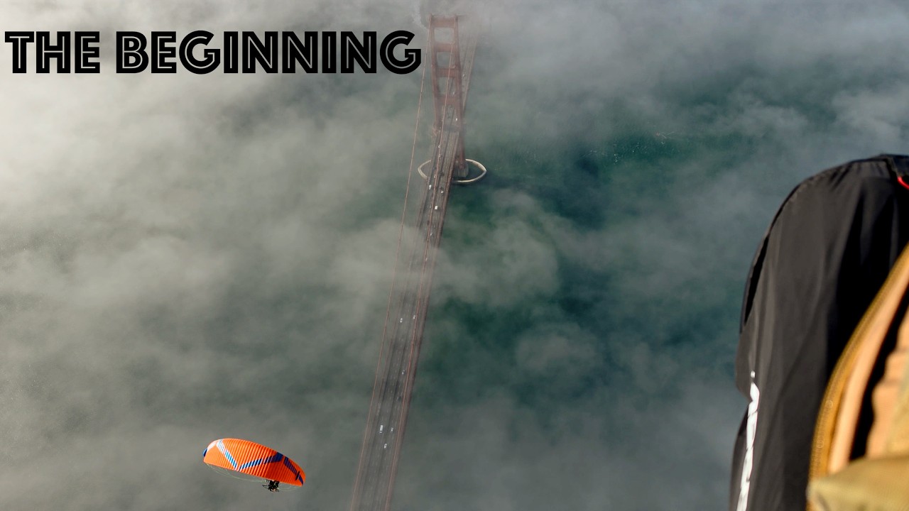
The Prep


All Trip Updates
The Pilots
The 2 pilots who flew coast to coast

Mark Huneycutt

Scott Garland
Trip Sponsors
Thank you to our sponsors for making this trip possible

Ozone Paragliders
Viper XC
The Ozone Viper XC is the wing that carried us coast to coast — a high-performance reflex wing built for cross-country distance and speed.
View the Viper XC
Klim
One Piece Suit • Heated Gloves • Balaclava • Boots
Klim kept us warm and protected at altitude with their premium one piece suit, heated gloves, balaclava, and boots — essential gear for long-distance flying in all conditions.
Visit Klim